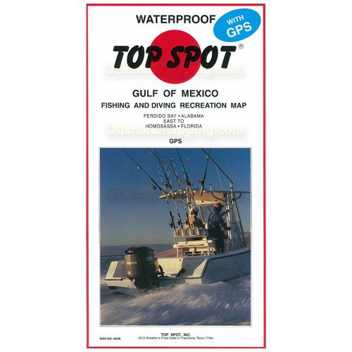
Top Spot - Gulf of Mexico Offshore Area Fishing & Diving Recreation Area Map
Sold Out
 Top Spot Map Gulf of Mexico Offshore Area Fishing & Diving Recreation Area Map #N-228, Florida, Alabama
Perdido Bay Alabama to Homosassa Florida. Pensacola, Ft. Walton, Miramar, Panama City, Crooked Island, St. Josephs Point, Cape San Blas, Indian Pass, St. Vincent Island, St. George Island, Lighthouse Point, Apalachee Bay, Steinhatchee, Hog Island, Cedar Key, Crystal River. Gulf of Mexico Fishing and Diving Recreation Map.
Diving and Wreck Location with GPS and Loran-C
Boat Ramp and Facilities
Navigation Beacons
Depth
Contact information for guides used
GPS and Loran-C Data
Related Items

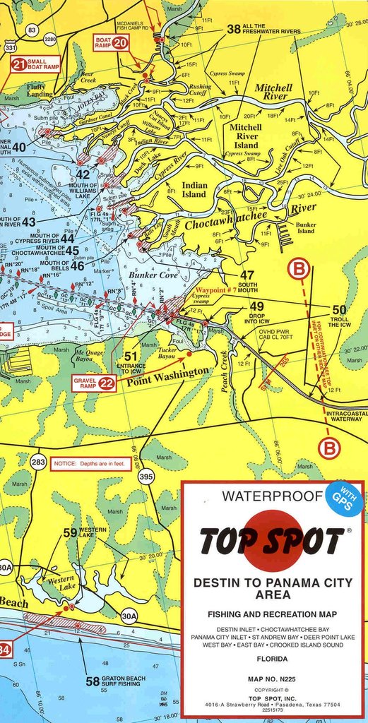
Top Spot - Destin to Panama City Area Fishing and Recreation Map
Sold Out
Top Spot Fishing and Recreational Map - Destin to Panama City Map No. N225 Destin Inlet * Choctawhatchee Bay * Panama City Inlet * St Andrew Bay * Deer...

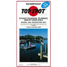
Top Spot - Fishing Map N215, Stuart to South Fort Pierce and St.Lucie
Sold Out
Top Spot Fishing and Recreation Map - Stuart to S. Ft. Pierce and St. Lucie Area St. Lucie Inlet, St. Lucie River, South Indian River. Stuart to South Fort Pierce...

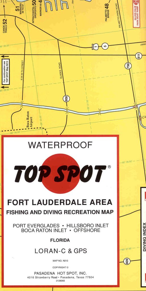
Top Spot - Fort Lauderdale Area #Map No. N212
$22.99
Top Spot Fishing and Recreation Map - Fort Lauderdale Area Map No. N212 Port Everglades * Hillsboro Inlet * Boca Raton Inlet * Offshore Top Spot Fishing and Recreation...